Logo
Home About News Data Internet Mapping Training Directory State Activities Products Links

Menu
About the Center
GIS News
GIS Data
Internet Mapping
Training and Education
State GIS Directory
State GIS Activities
Products
Links


MapWV.gov


GeoData.gov


Got a hot news item? Submit it!


Would you like periodic updates from the site? Subscribe here!


Geological 1:24,000-Scale Digital Conversion Project

The report below describes the procedures and specifications for the conversion of hand drawn geologic maps into a geographic information system (GIS). The West Virginia GIS Technical Center (WVGISTC) performed the digital map conversion of geologic features drawn by the West Virginia Geological and Economic Survey (WVGES) on U.S. Geological Survey (USGS) 1:24,000-scale maps.

Final Report (PDF)

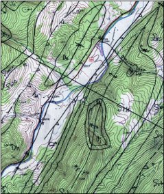
Hand drawn geologic features on USGS 1:24,000-scale topographic map 
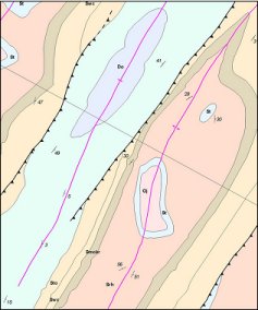
Geologic map digital conversion


Home About News Data Internet Mapping Training Directory State Activities Software Links

Questions? Comments? Contact Us!

Page Copyright ©2000 West Virginia University All Right Reserved. ESRI and the ESRI Logo are licensed trademarks of Environmental Systems Research Institute, Inc. Please check our Terms of Use for rules and regulations with regard to our datasets.