|
||
|
Home |
|
West Virginia TransportationSummary of State DOT GIS ActivitiesGIST 2003 Summary.pdfGIST 2004 Summary.pdf GIST 2006 Summary (summary of states PDF) (state roll call PDF) GIS Implementation Strategy for WVDOT (2002)The Rahall Appalachian Transportation Institute (ATI) and the West Virginia Department of Transportation (WVDOT) funded Marshall University and West Virginia University under Project RTI-99-32 Analysis and Exploitation of Geographic Information Systems (AEGIS) to develop a strategic plan for the implementation of a geographic information system (GIS). This plan supports the efforts of WVDOT to develop an integrated GIS resource management system to meet its evolving operational and managerial business needs.GIS Transportation Report, August 2002
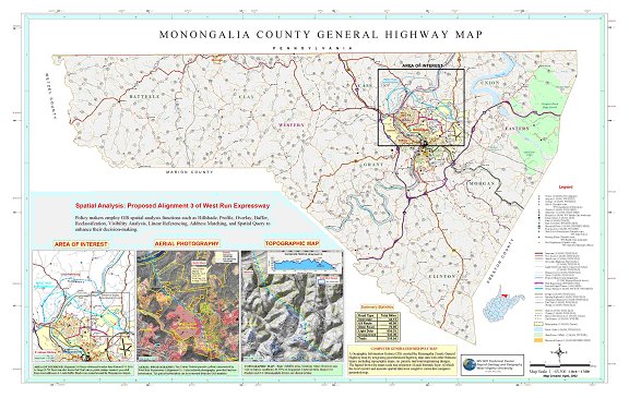
Prototype of a Computer-Generated County Highway Map - PDF (3.7MB) 
|

