National Map (Next Generation Topographic Map)

The National Map is envisioned by the USGS as a seamless, continuously maintained, and consistent set of online, public domain, core geographic data. The National Map will serve as a foundation for integrating, sharing, and using other government and private sector data easily and consistently. Eight primary data layers constitute The National Map: digital orthorectified imagery, elevation, hydrography (water), transportation, boundaries, cultural features, geographic names, and land cover.


Important Links


2009 Graphics Research: Urban Tint and Forest Cover Tint Generation

The West Virginia GIS Technical Center (WVGISTC) has completed its investigation for "Development of Automated Graphics Features for Next Generation USGS Topographic Series in Support of the National Map." The following report documents the findings of this research. The demonstration maps show the results of this research, in context with other mapping layers.
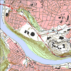
Report Summary (December, 2009, PDF)
Report (December, 2009, PDF)
Demonstration Maps


2003 - WV Future Topographic Map: A National Map Pilot

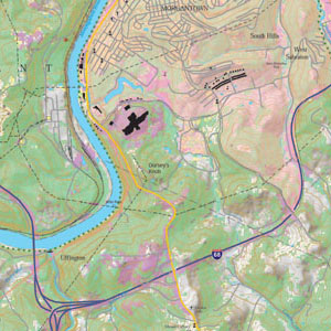
The West Virginia GIS Technical Center (WVGISTC) produced a "new" 1:24,000-scale topographic map, using ESRI ArcGIS 9.3 software, from the best available GIS data layers. The purpose of this pilot project was to create a printed cartographic product that follows the USGS's vision as noted above. This demonstration study focused particularly on mapping issues associated with assembling a computer-generated cartographic product.

West Virginia's "Future" Topographic Map: A National Map Pilot (Nov. 2003, PDF)
Morgantown South, WV, 7.5-Minute Quadrangle (Nov. 2003, PDF, 11.5 MB)

(Demonstration Map)